Geospatial Technologies in Agriculture

Introduction
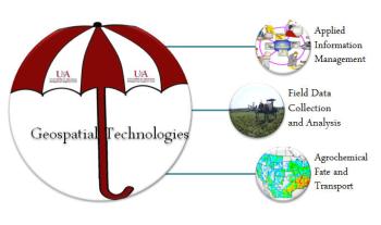
Geospatial technologies is an umbrella phrase associated with a suite of technologies such as applied information management, field data collection and analysis, and agrochemical fate and transport.
These technologies help in capturing, storing, processing, displaying, and disseminating information tied to a particular location.

Applied Information Management
Systems designed to capture, store, manipulate, analyze, manage, and present all types of geographical data.

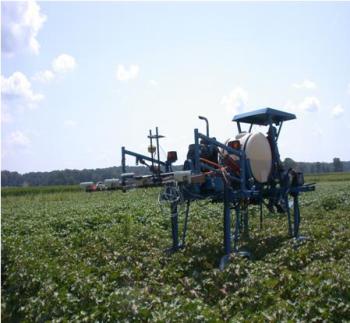
Field Data Collection and Analysis
Helps in capturing, storing, processing, displaying, and disseminating information tied to a particular location.
- GreenSeeker
- Corn Mazes
- Soil EC

Agrochemical Fate and Transport
Assist producers with agrochemicals in evaluating the fate of their crops through research, transport, toxicity, field investigations, spatial analysis, and modeling.
- SWAT Modeling
- Geospatial Workshops
Disclaimer
Links to maps, data, and information are provided with the understanding that they are not guaranteed to be the latest or complete. Users are cautioned to verify the accuracy, completeness, and currency of maps, data, and information from original sources before using them for decision-making. Reference to commercial sites is provided for information and convenience only. Inclusion of sites does not imply the University of Arkansas System Division of Agriculture's approval of their product or service to the exclusion of others that may be similar, nor does it guarantee or warrant the standard of the products or service offered.
The mention of any commercial product on this website does not imply its endorsement by the University of Arkansas System Division of Agriculture over other products not named, nor does the omission imply that they are not satisfactory.